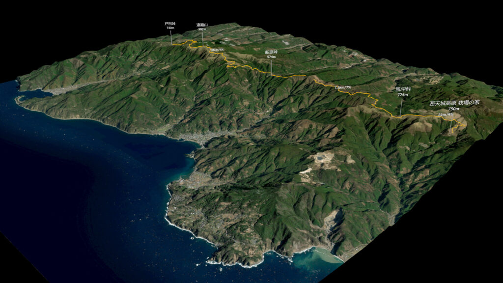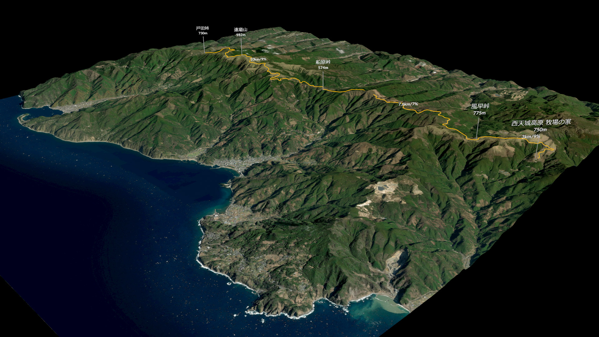
MapboxやOSMを使う時の緯度・経度と座標を変換する計算。
width(m): 16043.921925264021(m) x height(m): 16043.921925264021(m)
west:138.724365234375
east:138.900146484375
north:34.99400375757576
south:34.84987503195417
このような緯度と経度、長さの情報を準備しておく。中心がワールド座標0とする。
緯度・経度から座標を計算する
//
// 緯度経度を座標に変換する
// RunOver: Points
//

// 緯度・経度の座標
lat = f@lat;
lon = f@lon;

// ハイトマップ四方の長さ
float width = `chs("../controller/width")`;
float height = `chs("../controller/height")`;

// 四方の緯度と経度
float west = `chs("../controller/west")`;
float east = `chs("../controller/east")`;
float north = `chs("../controller/north")`;
float south = `chs("../controller/south")`;

// ワールド座標に変換
float x = (lon - west) / (east - west) * width - (width / 2);
float z = (lat - south) / (north - south) * height - (height / 2);
z *= -1;

@P = set(x, 0, z);
座標から緯度と経度を計算する
//
// 座標を緯度経度に変換する
// RunOver: Points
//

// ハイトマップ四方の長さ
float width = `chs("../controller/width")`;
float height = `chs("../controller/height")`;

// 四方の緯度と経度
float west = `chs("../controller/west")`;
float east = `chs("../controller/east")`;
float north = `chs("../controller/north")`;
float south = `chs("../controller/south")`;

// 緯度
float coord_center =  (north - south) / 2 + south;
f@lat = @P.z * -1 / (height/2) * (north - south) / 2 + coord_center;

// 経度
coord_center =  (east - west) / 2 + west;
f@lon = @P.x / (width/2) * (east - west) / 2 + coord_center;

